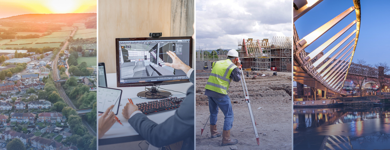
We’re pleased to announce the launch of four brand new services, helping clients to gather accurate and reliable data and save time and money across all construction stages. Take a look now and get in touch for more information.
3D Modelling:
Thanks to the latest state-of-the-art digital technology, accurate 3D modelling produces critically accurate building information, saving time and money during construction and enabling real-time decision-making once the building is occupied.
Topographical Land Surveys:
With a detailed digital representation of site, our accurate CAD outputs support design plans and provide intelligence about the layout of the land and its condition. This enables more informed decisions to be made about the potential impact of construction.
Measured Building Surveys:
A detailed plan of buildings, their layout, and architecture, our 3D scanning technique means accurate data, with minimal disruption to site. Our surveys are bespoke and flexible to ensure building information is suitable, including layering systems, drawing scales and producing outputs in any preferred format (e.g. Revit, CAD, PDF).
Drone Surveys:
More efficient than a traditional survey with equal accuracy on data collection, our team uses specialist Unmanned Arial Vehicles (UAV) and drone technology. Our experienced CAA-accredited drone pilots provide accurate and reliable results for creating and maintaining the site.
Get in touch:
For more information or to book a service, get in touch with our Built Environment team now: call 01924 237 500 or email sales-wakefield@stroma.com.
